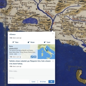

Walking Through History. An Interdisciplinary Approach to Flavio Biondo’s Spaces in the "Italia Illustrata"
edited by Tanja Michalsky
 & Martin Thiering
ISBN: 978-3-949381-00-3
DOI: 10.48431/hsah.0100
Published: 31.12.2022 Licensed under CC BY 4.0 except where otherwise noted
Cite as: (2022). “Walking Through History. An Interdisciplinary Approach to Flavio Biondo’s Spaces in the "Italia Illustrata".” Hertziana Studies in Art History. https://doi.org/10.48431/hsah.0100